White Point Beach Out and Back
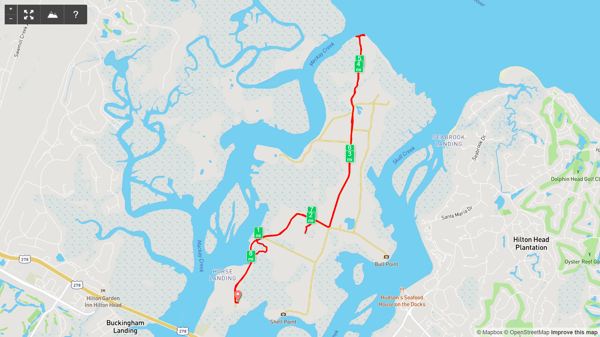
Map of White Point Beach Out and Back, Pinckney Island NWR

Elevation Profile of White Point Beach Out and Back, Pinckney Island NWR
Overview. A long walk keeps White Point decidedly uncrowded. We had the crushed shell beach to ourselves, watched a pod of dolphins a few dozen yards off the shoreline, and saw a ton of wildlife including a white ibis rookery, a couple armadillos, and a few juvenile alligators - all up close and personal.
Route Type | Out and Back
Total Distance | 8.5 miles
Elevation Gain | 65 feet
Overall Difficulty | Easy
GPS Waypoints
Trailhead | 32.234156, -80.779350
Pinckney Island NWR Trail Map
Parking. More than two dozen parking spaces are available on the loop near the trailhead with a couple spaces available along the road on the way in.
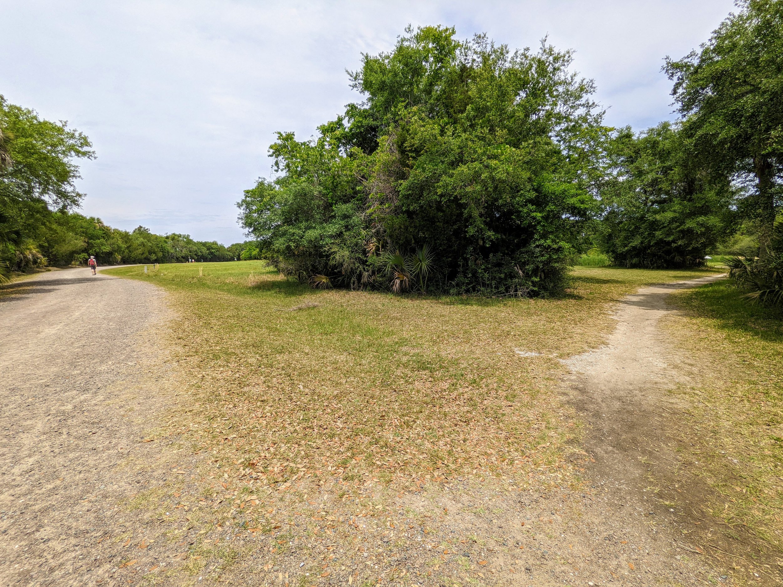
Trail Navigation. Pinckney Island National Wildlife Refuge is incredibly well kept with extra wide trails that are well signed and easy to navigate. From the parking lot, locate the trailhead and walk the narrower path until reaching the gravel road. From here, head north-northeast until reaching an unmarked, well trod path to Ibis Pond at about mile 0.6. Circle the pond and take in the action at the rookery before rejoining the gravel road. Follow the main road/trail around a bend and look to the right for the Osprey Pond sign. Follow this spur out where you’ll likely see some alligators around the pond. Retrace your steps to the main trail and walk a couple tenths of a mile before making a left at the next trail intersection and head due north. Follow this out a good ways to reach the end of the road where the spur to White Point is marked. Keep going north through the grassy area before going through some tree cover and pop out at White Point. Retrace your steps to return to the trailhead.
HIKER NOTE - Heat. We had comfortable temps with a lot of clouds overhead to beat the heat on a midday hike. Come early or late to avoid peak heat hours.
RULE REMINDER - Day Use ONLY. This refuge is open from dawn to dusk and has an automated gate. No camping or overnight use is allowed.
RULE REMINDER - No Pets. There are no dogs, cats, or Bengal tigers allowed, so leave them at home while you’re out there.
CAUTION - Surveillance. A good number of surveillance cameras are in use throughout the refuge to keep visitors on the straight and narrow.
CAUTION - No Water. There is no drinking water (or bathrooms) available at the refuge. Be sure to bring plenty of H2O and drain any excess H2O before you hit the trails.
CAUTION - Alligators. Although plenty of alligators call the refuge home, trails are mowed extra wide - making it easy to avoid getting too close.
CAUTION - Venomous Snakes. A total of five species of venomous snakes can be found in this region. Be sure to review this guide from the South Carolina Department of Natural Resources.

Main Trailhead, Pinckney Island NWR
Turn Right for Ibis Pond, Pinckney Island NWR

Ibis Pond Rookery, Pinckney Island NWR

Osprey Pond, Pinckney Island NWR

One of Many Beautiful Oaks, Pinckney Island NWR

Trail Sign for White Point Spur, Pinckney Island NWR

LaFonda at White Point, Pinckney Island NWR

Storm Clouds Rolling In, Pinckney Island NWR