The Basin and Kinsman Falls Out and Back

Map of The Basin and Kinsman Falls, White Mountain National Forest

Elevation Profile of The Basin and Kinsman Falls, White Mountain National Forest
Overview. This is a classic short hike in Franconia Notch State Park. The Basin is an amazing geological area with loads of beautiful water features. We added the short walk up to Kinsman Falls - one of the few vertical falls in the region before turning back short of Rocky Glen Falls due to deteriorating weather conditions.
Route Type | Out and Back
Total Distance | 1.2 miles
Elevation Gain | 308 feet
Overall Difficulty | Easy
GPS Waypoints
Trailhead | 44.123278, -71.682708
The Basin | 44.120975, -71.682983
Kinsman Falls | 44.121736, -71.689508
Franconia Notch State Park Map
Parking. A large parking lot of just off the interstate, but can be full during peak season. Visit early, late, or during rains to enjoy a less crowded experience.
Trail Navigation. Follow the paved trail down the handicap accessible ramp and tour The Basin area. Continue upstream until reaching the split for Kinsman Falls noted above. On your way, pop out as often as you like to enjoy the many water features displayed here. Retrace your steps to return to the parking lot.
HIKER NOTE - Rocky Glen Falls. We opted to turnaround with heavy rains coming down, but another half mile up the trail takes you to the beautiful Rocky Glen Falls.
CAUTION - Be Bear Aware. Black bear are plentiful in the region. Know Before You Go => US Forest Service Black Bear Safety Tips
CAUTION - Moose. Be aware and never approach moose. Leave a wide berth and turn back if needed.

Pit Toilets at the Trailhead, Franconia Notch State Park

Basin Cascade Trailhead, Franconia Notch State Park
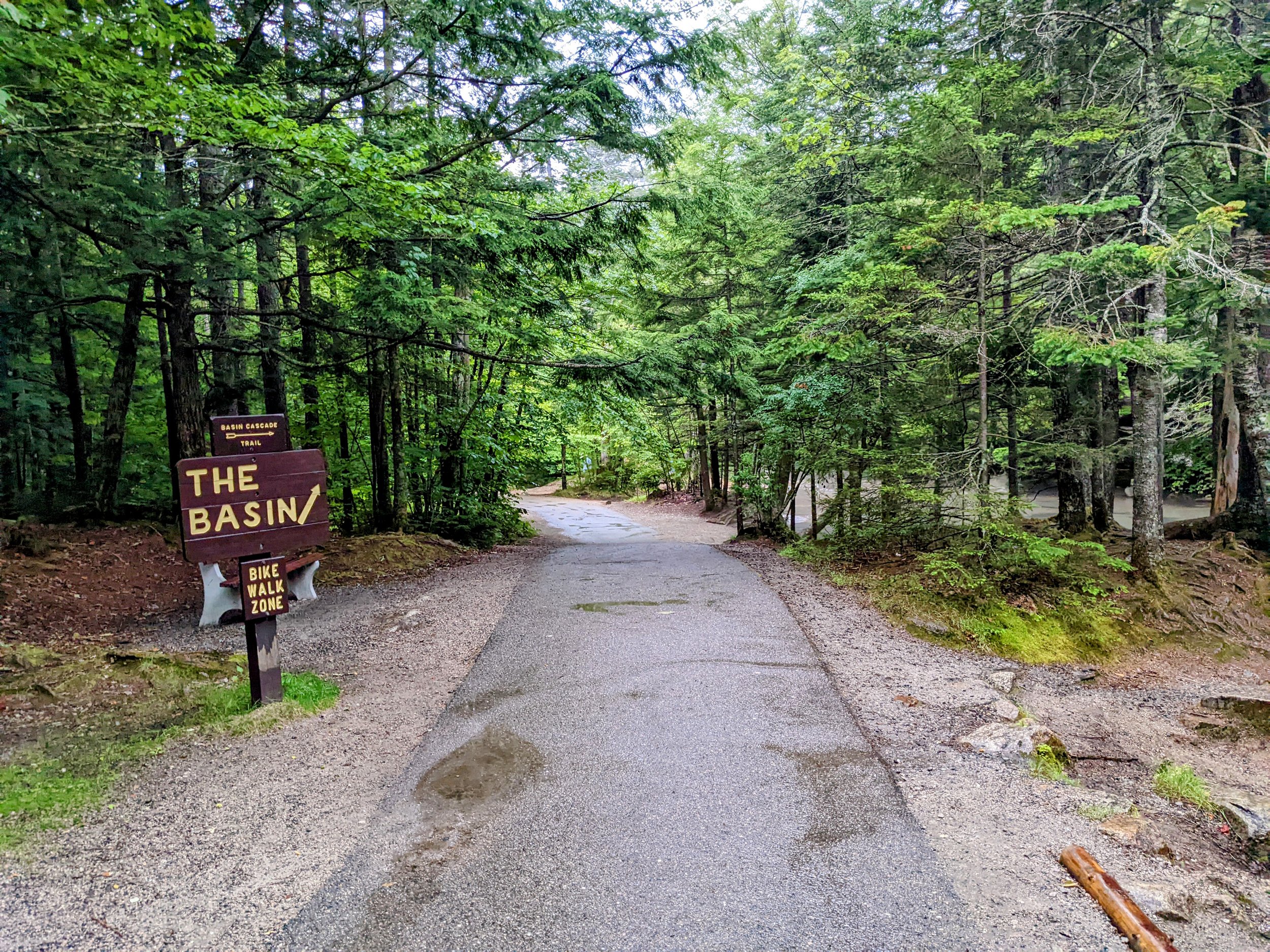
Paved Trail to The Basin, Franconia Notch State Park

Cascades on Cascade Brook, Franconia Notch State Park

The Other Side from Below, Franconia Notch State Park
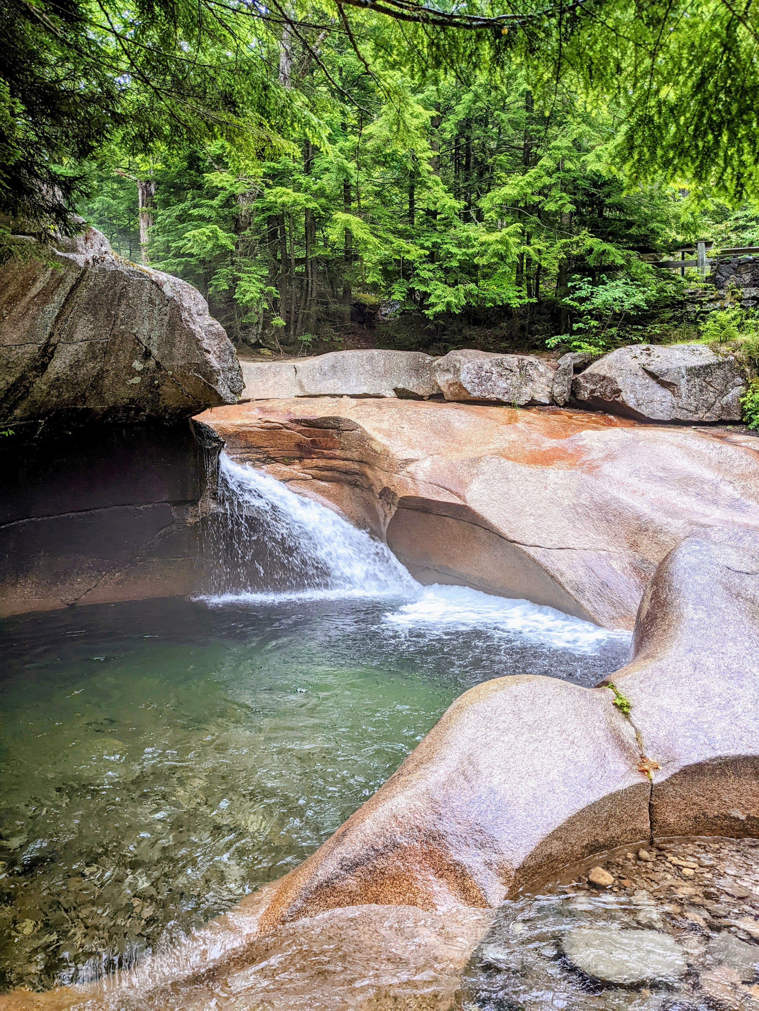
The Basin, Franconia Notch State Park
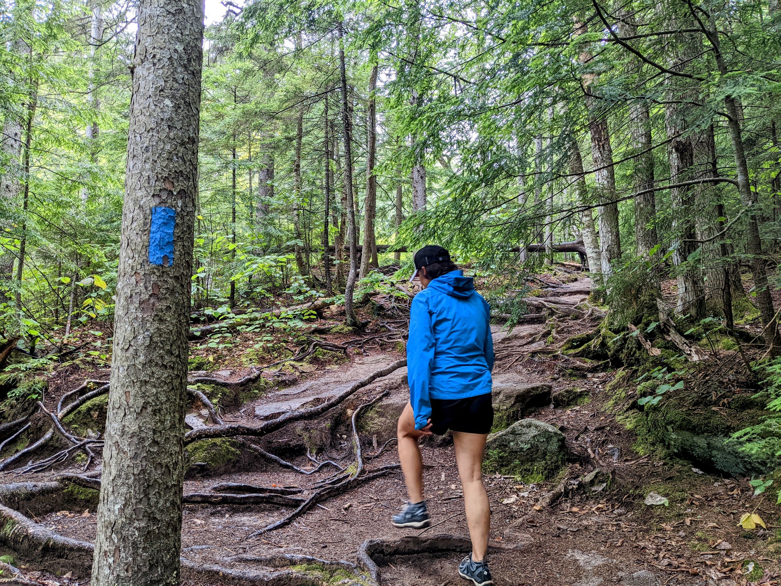
Unpaved Trail on the Way to Kinsman Falls, Franconia Notch State Park
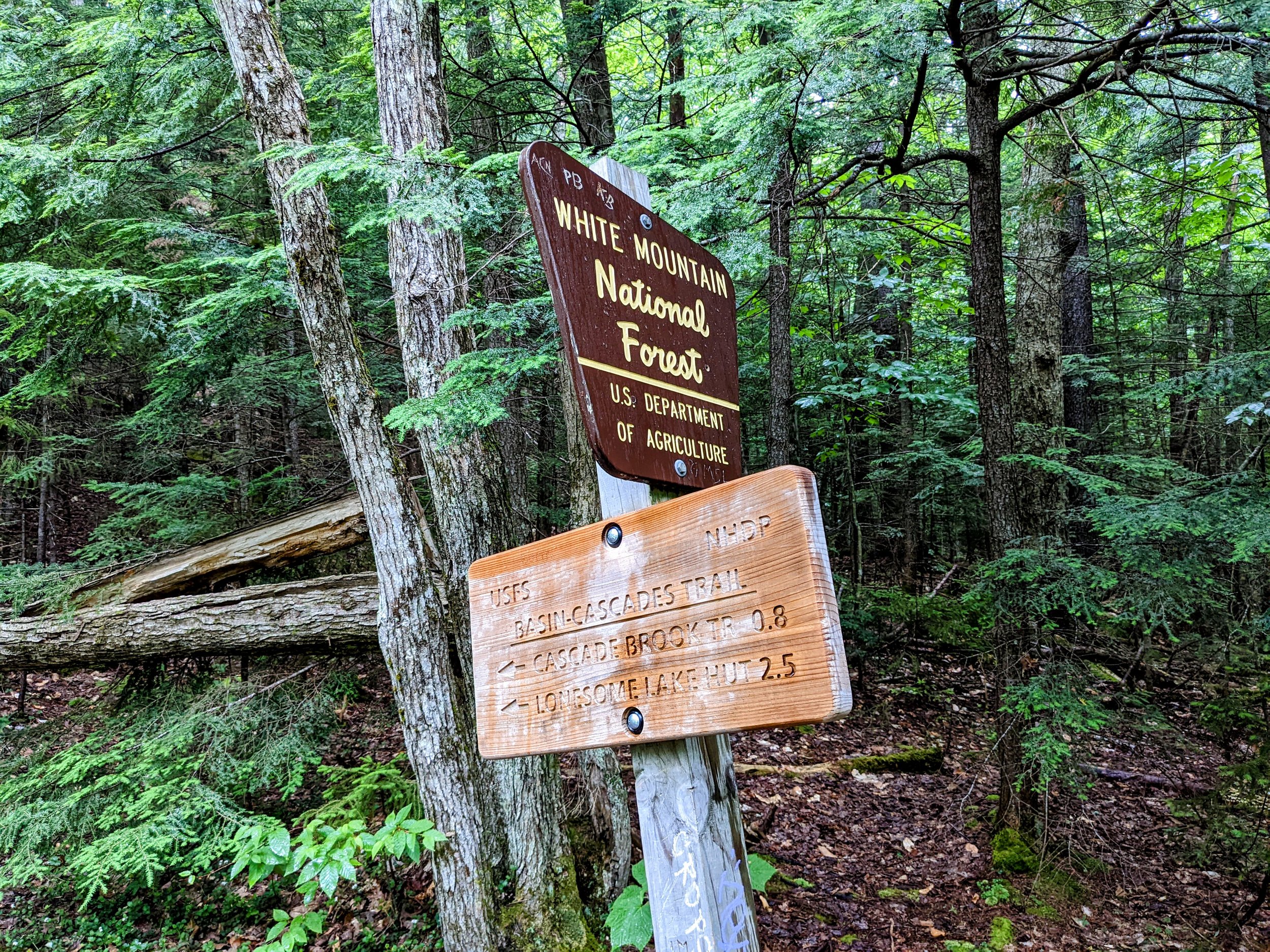
Entering White Mountain National Forest

Split to Kinsman Falls, White Mountain National Forest

Kinsman Falls, White Mountain National Forest