Mt. Monroe and Mt. Washington Loop

Map of Mt Monroe and Mt Washington Loop, White Mountain National Forest

Elevation Profile of Mt Monroe and Mt Washington Loop, White Mountain National Forest
Overview. This is an iconic hike to the summit of the highest peak in New England - Mt. Washington. We added the short spur to Mt. Monroe as well to make for a full day in the Presidential Range of White Mountain National Forest. We enjoyed perhaps the best weather day of the year with comfortable temps, abundant sunshine, and only a light breeze at the summit.
Route Type | Loop and Spur
Total Distance | 10.16 miles
Elevation Gain | 4,296 feet
Overall Difficulty | Strenuous
GPS Waypoints
Ammonoosuc Ravine Trailhead | 44.266969, -71.360819
Ammonoosuc Ravine-COG Railway Trail Junction | 44.269075, -71.344183
Ammonoosuc Ravine-Crawford Path Junction | 44.258733, -71.319283
Lakes of the Clouds AMC Hut | 44.258742, -71.318900
Crawford Path-Mt. Monroe Loop Over Summit Junction | 44.257525, -71.318869
Mt. Monroe Summit | 44.255033, -71.321361
Crawford Path-Tuckerman Crossover-Camel Trail Junction | 44.259281, -71.316153
Crawford Path-Davis Path Junction | 44.266044, -71.308203
Crawford Path-Westside Trail Junction | 44.266361, -71.308281
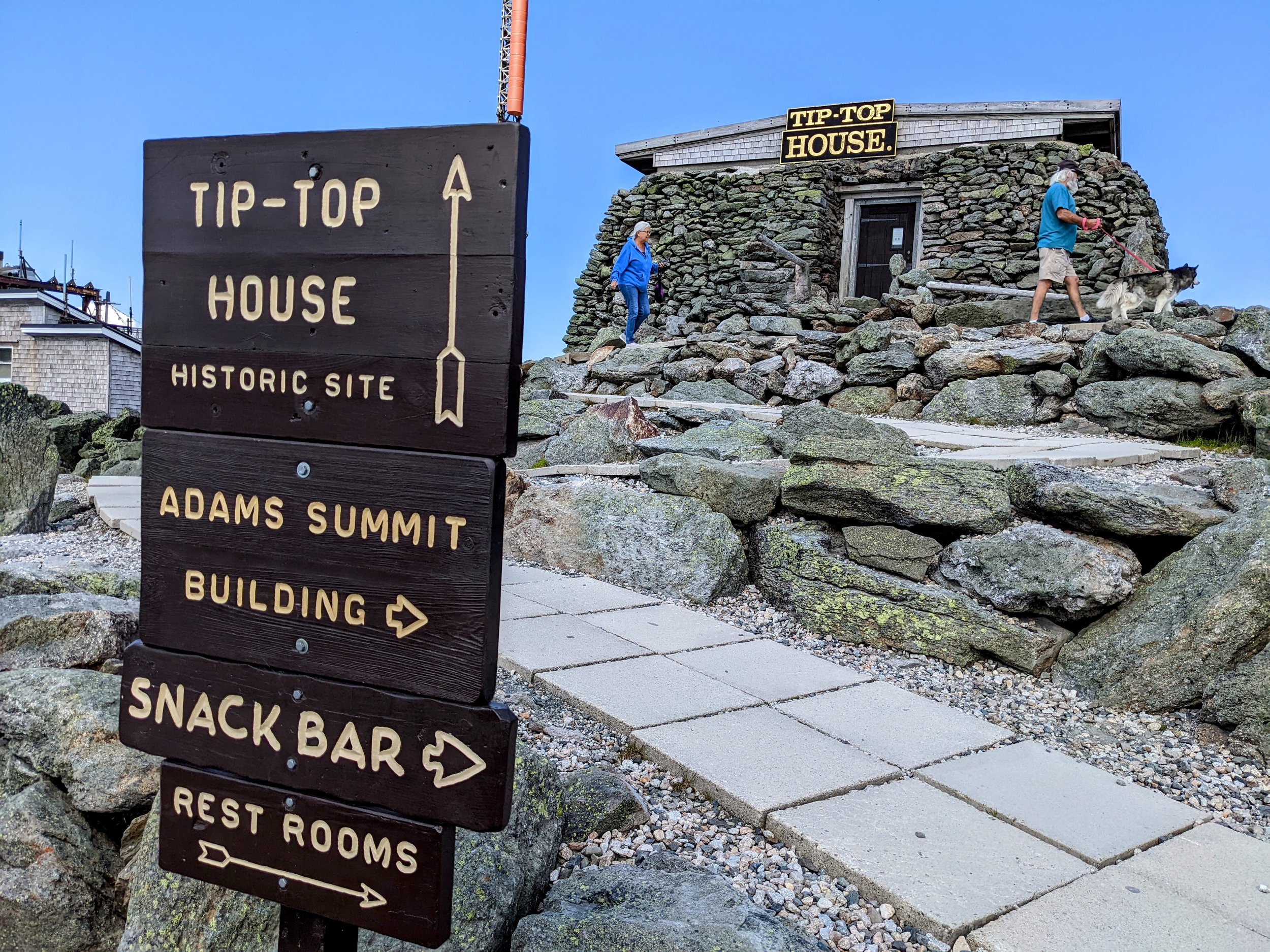
Mt. Washington Summit | 44.270494, -71.303313
Trinity Heights Connector Trailhead | 44.270617, -71.303367
Trinity Heights Connector-Gulfside Trail Junction | 44.271919, -71.305531
Gulfside-Great Gulf Trail Junction | 44.274569, -71.304686
Gulfside-Westside Trail Junction | 44.277492, -71.311956
Gulfside-Mt. Clay Loop Junction | 44.278606, -71.313264
Gulfside-Jewell Trail Junction | 44.282317, -71.316653
Jewell-Boundary Line Trail Junction | 44.270097, -71.356750
Jewell Trailhead | 44.267386, -71.361406
National Geographic White Mountain National Forest Trail Map Pack
Parking. Ample parking is available at the Ammonoosuc Ravine Trailhead, but can fill up during peak hiking seasons. Be sure to arrive early to secure parking and begin your hike early enough to beat afternoon clouds, rain, and/or thunderstorms.
Trail Navigation. This hike is easily navigated, but has no less than 12 trail intersections that are noted in the GPS waypoints above. We hiked this counterclockwise to ascend the more technical Ammonoosuc Ravine Trail and descend the less technical Jewell Trail. Trails are well defined, well marked, and cairns point the way above tree line with signs at all trail junctions. Be sure to purchase a map set online or in one of the local visitors centers or shops to more completely plan your hike including bailouts if weather turns. In a nutshell, here is the hike:
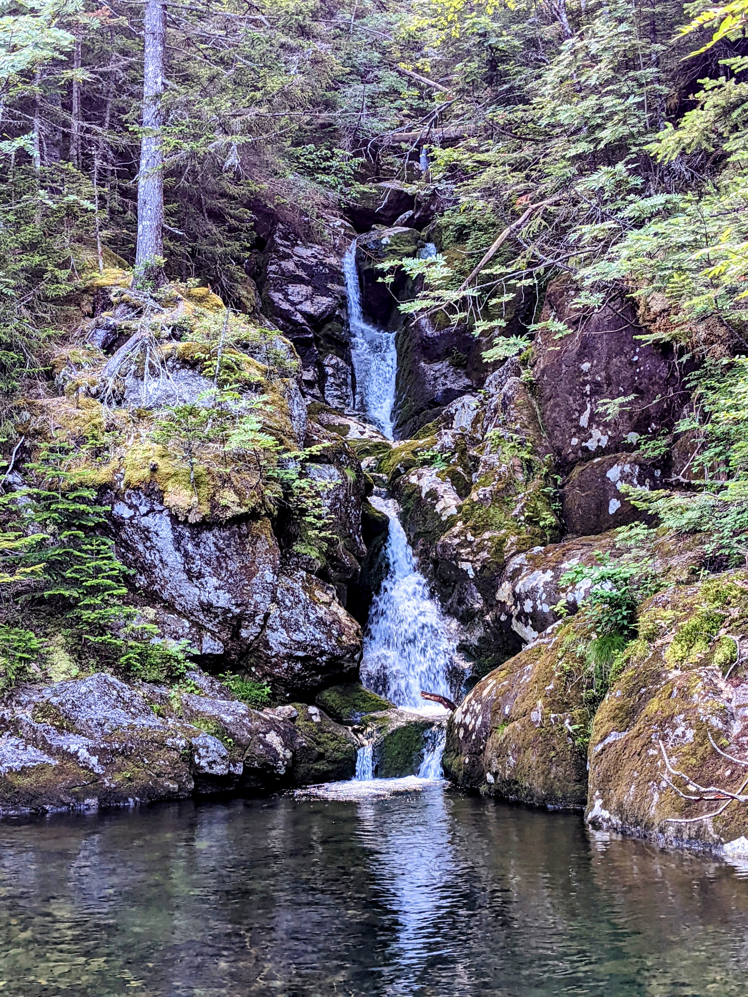
Ammonoosuc Ravine Trail
Lakes of the Clouds Hut
Crawford Path toward Mt. Monroe
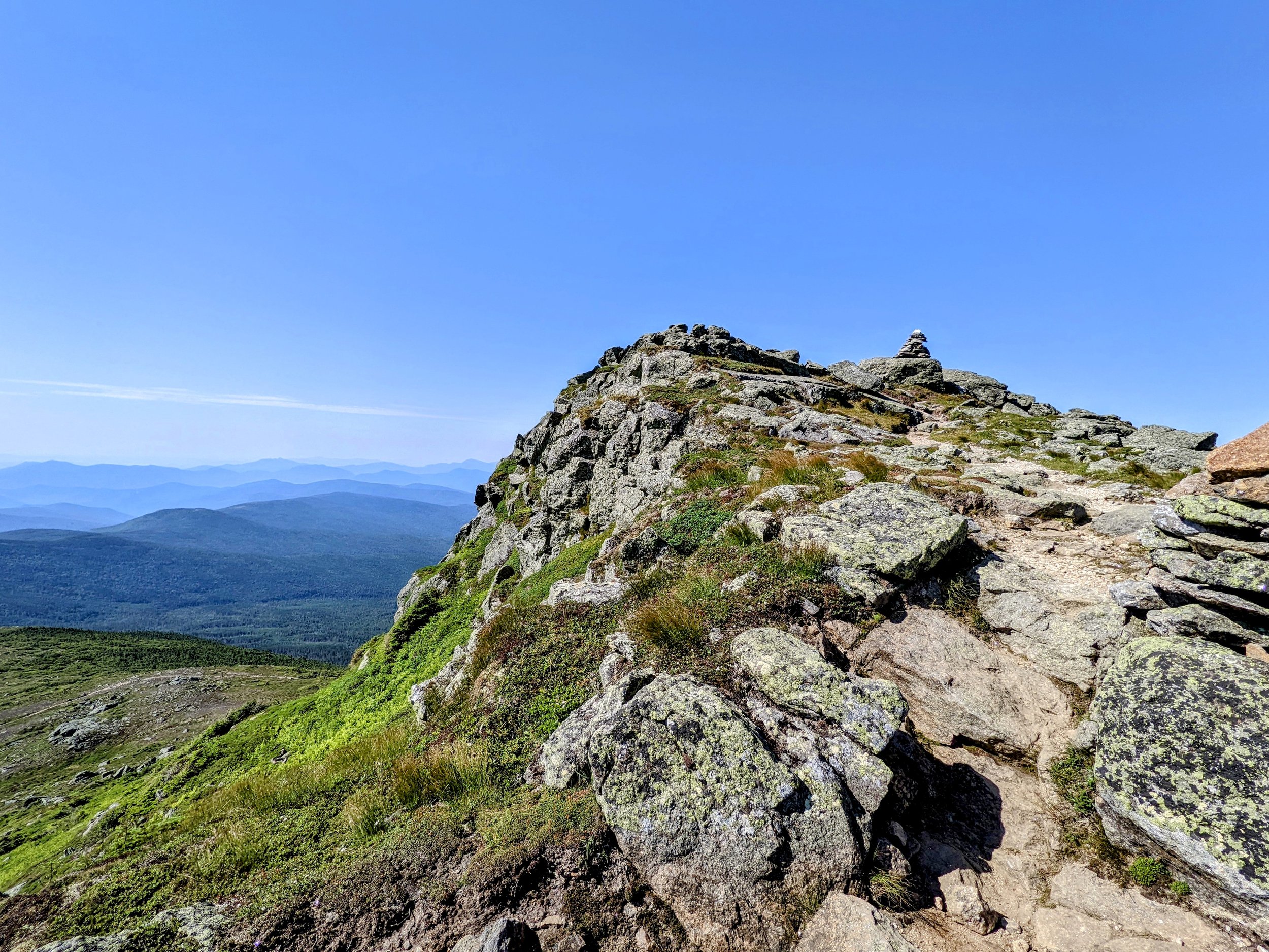
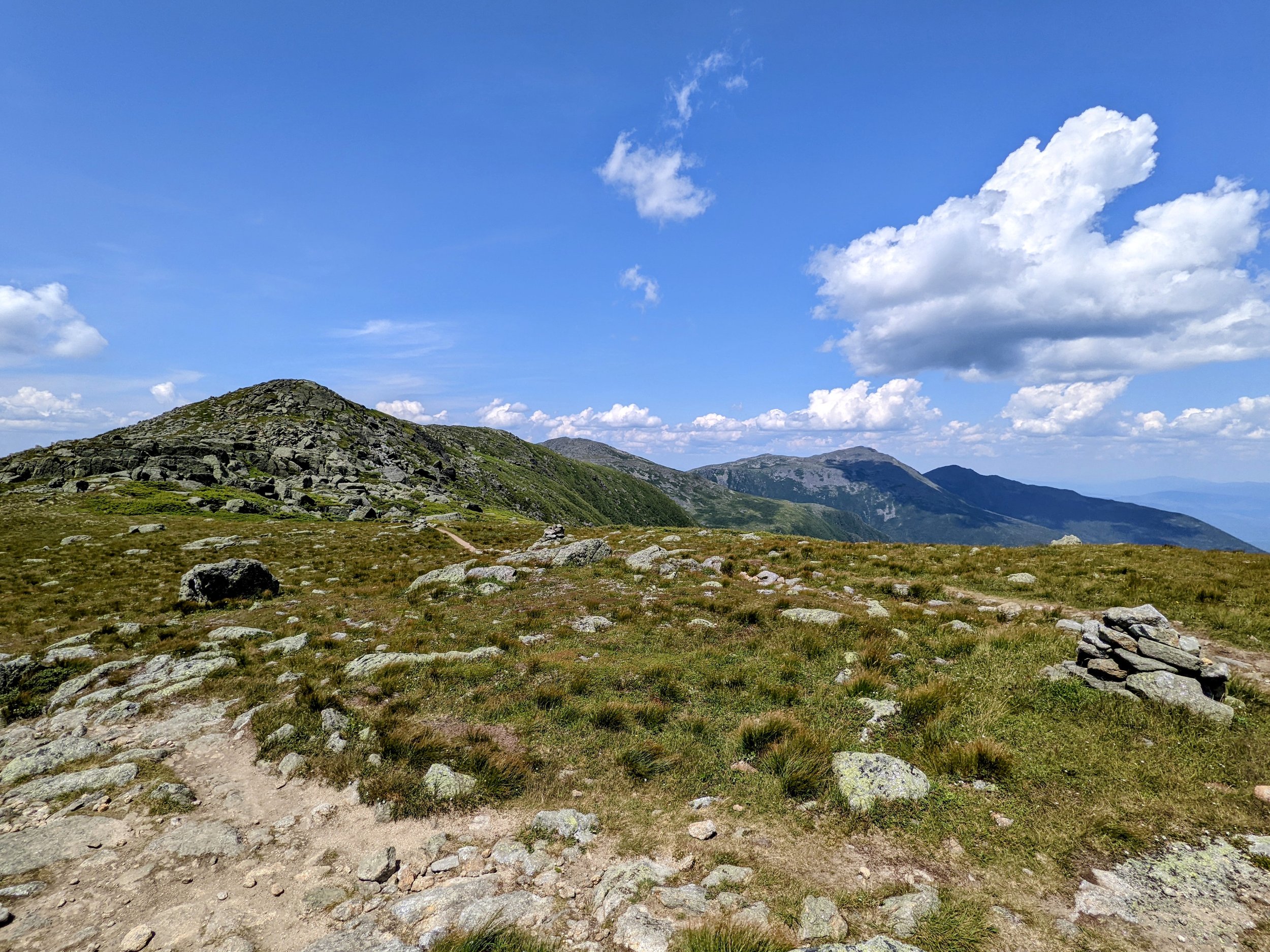
Mt. Monroe Loop Over Summit
Summit Mt. Monroe, Retrace Steps
Lakes of the Clouds Hut
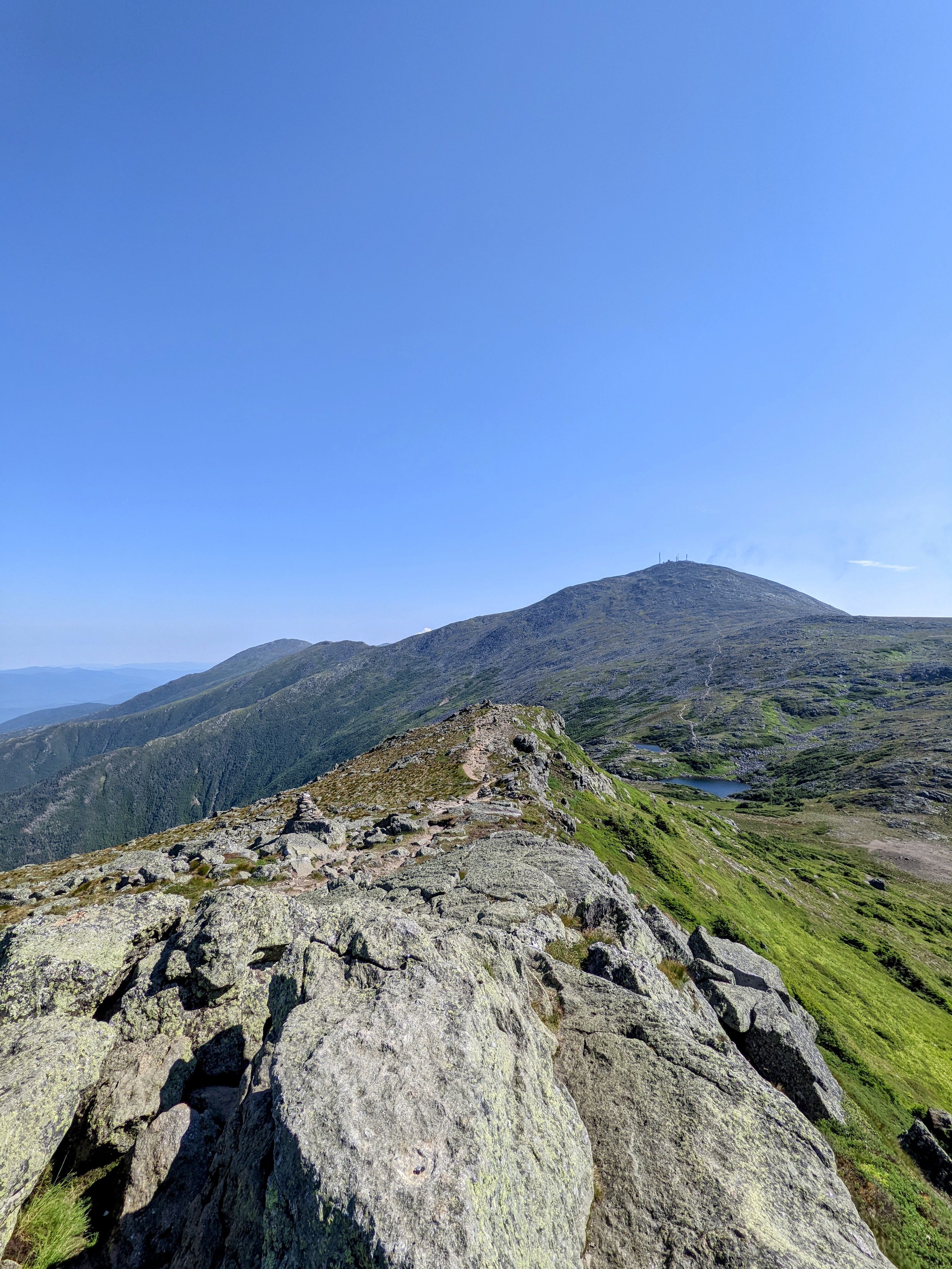
Crawford Path to Mt. Washington
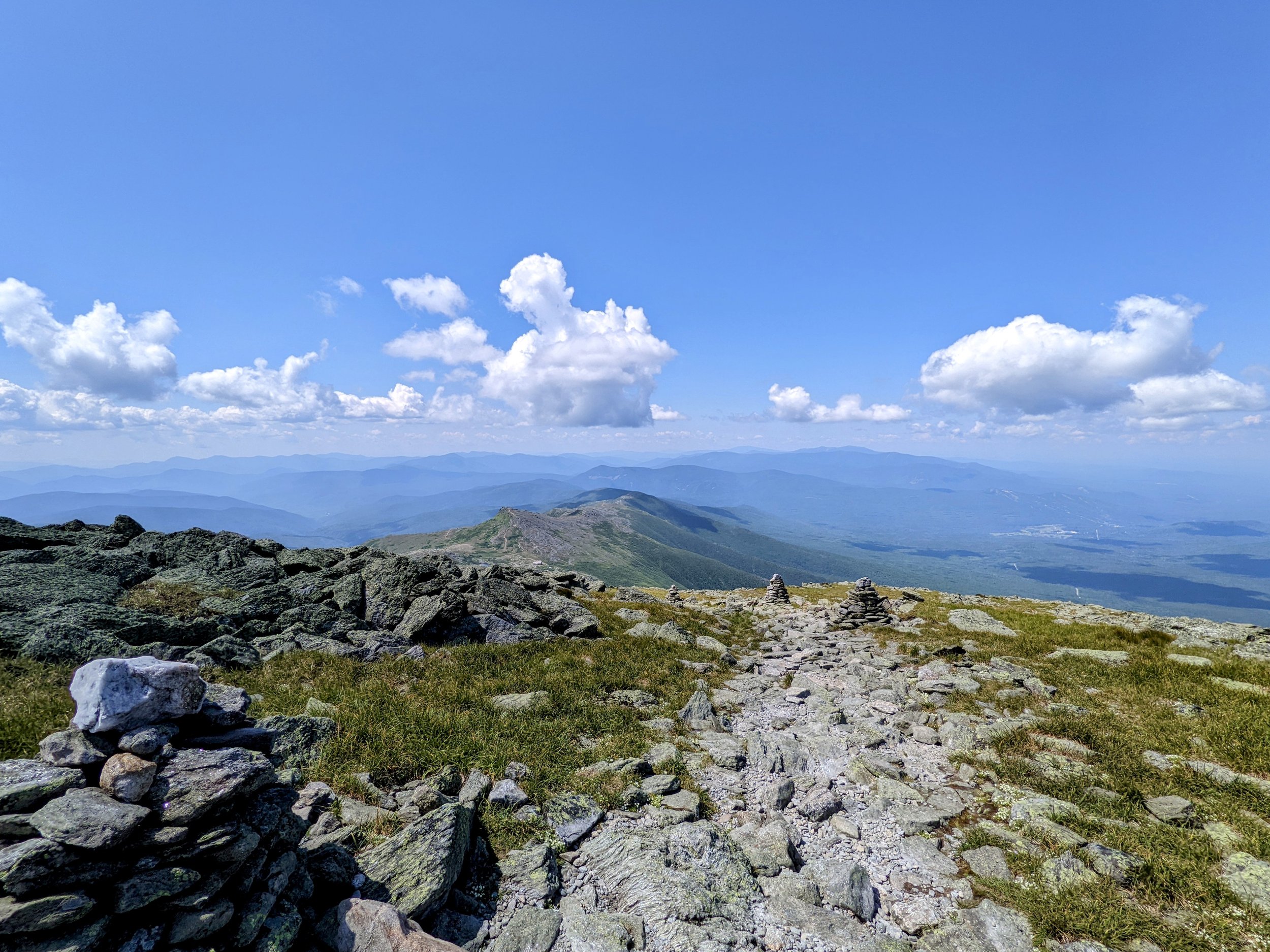
Summit Mt. Washington
Trinity Heights Connector
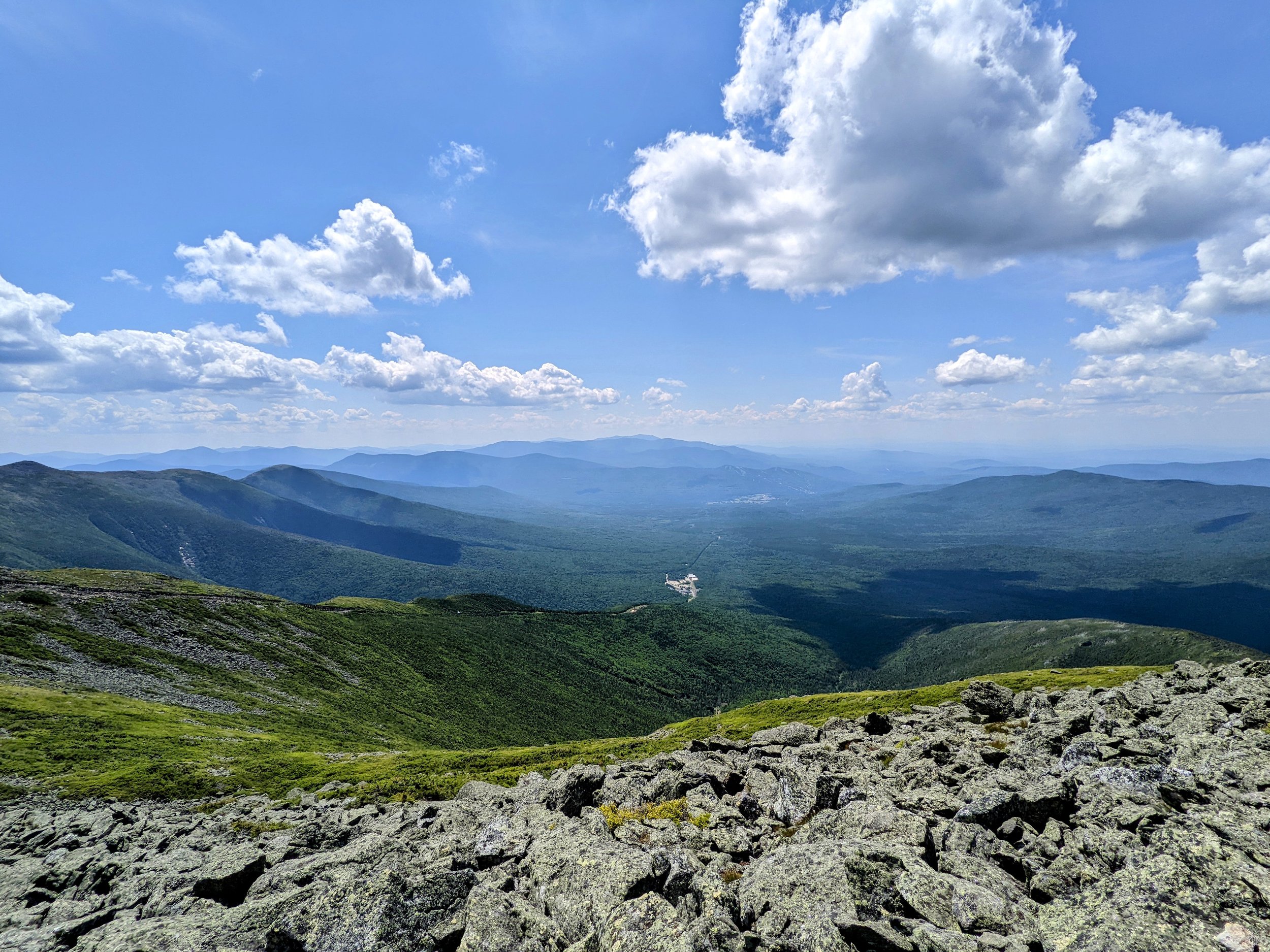
Gulfside Trail
Jewell Trail
CAUTION - Deadly Weather. Mt. Washington is home to some of the worst weather anywhere in the world. Be sure to check multiple forecasts for the summit at mountwashington.org and mountain-forecast.com. Postpone your hike or turnaround in bad weather. Hikers regularly die attempting this hike in perilous weather with the most recent death a few weeks before our hike.
CAUTION - Be Bear Aware. Black bear are plentiful in the region. Know Before You Go => US Forest Service Black Bear Safety Tips
CAUTION - Moose. Be aware and never approach moose. Leave a wide berth and turn back if needed.