Copperas Canoe Launch - Red River Access

Map of Copperas Canoe Launch, Red River Gorge
Overview. Red River is a federally designated Wild and Scenic River, and while you can rent your kayaks downstream, you can also bring your own and launch from here. Of course, you’ll need water and wild river depths can be finicky, but it is fantastic wading after a long hike!
Route Type | Out and Back
Total Distance | 0.12 miles
Elevation Gain | 9 feet
Overall Difficulty | Easy
GPS Waypoints
Unmarked Walkway | 37.820322, -83.575111
Copperas Canoe Launch | 37.819858, -83.575122
Red River Gorge Area Map
Parking. Limited parking is available at the Osborne Bend Trailhead and along KY-715. Parking routinely fills up on nice weather weekends - arrive early or late to get a spot.
Trail Navigation. Locate the stairs across from the parking lot and descend. Turn left (south) on the gravel road to reach the canoe launch.
CAUTION - Poisonous Snakes. Copperheads and timber rattlesnakes can be found in the area. Should you encounter one, stop and slowly back away. Always give venomous snakes a wide berth. Know Before You Go => University of Kentucky Venomous Snake Guide
CAUTION - Black Bears. Ursus Americanus - a.k.a. the American black bear is growing in population throughout much of Kentucky. Know Before You Go => US Forest Service Black Bear Safety Tips

Staircase to Copperas Canoe Launch

Car Turnaround at Copperas Canoe Launch

Canoe Slide at Copperas Canoe Launch

Looking Upstream on Red River
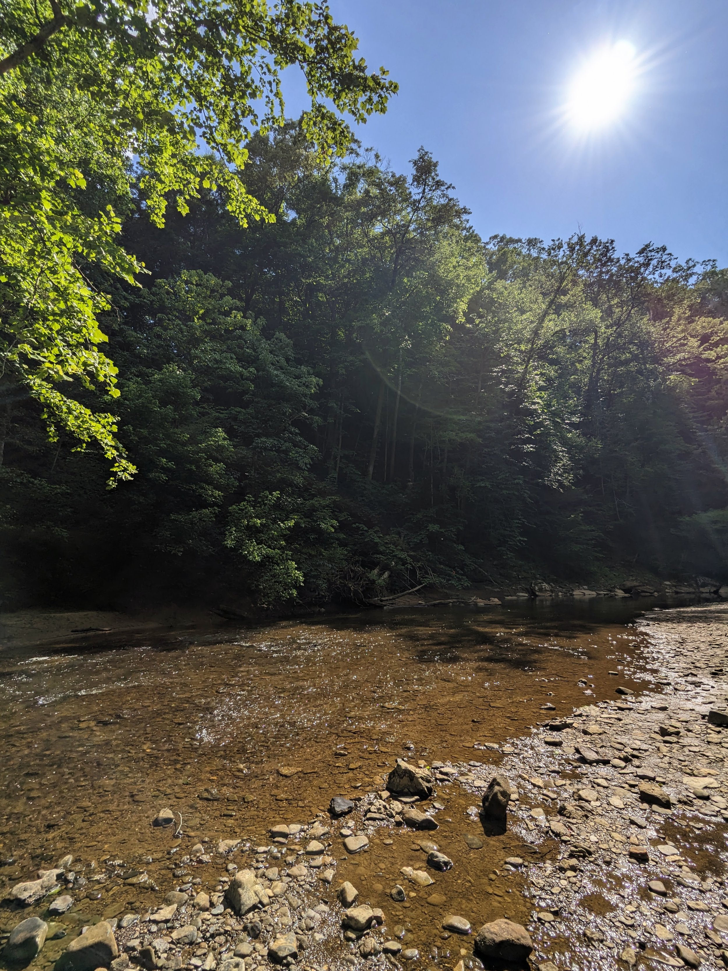
View Downstream on Red River