Silver Cascade

Map of Silver Cascade Out and Back, Crawford Notch State Park

Elevation Profile of Silver Cascade Out and Back, Crawford Notch State Park
Overview. This is one of two cascades on the north end of Crawford Notch. Of the two, this one is a little nicer thanks to a gorgeous view of Mt. Willard above. Again, this was a low flow visit, but after big rains, this little walk is pretty amazing!
Route Type | Out and Back
Total Distance | 0.20 miles
Elevation Gain | 60 feet
Overall Difficulty | Moderate
GPS Waypoints
Parking Lot | 44.206383, -71.403276
Trailhead | 44.206783, -71.403108
Crawford Notch State Park Map
Parking. Limited roadside parking is available across from the trailhead on the west side of US-302.
Trail Navigation. Locate the trailhead across the road and just to your left (north). Walk up the rock or side trail and enjoy the cascades along with a nice view of Mt. Willard.
HIKER NOTE - Low Flow. We visited during a low flow period, but ideally, hit this during a multi-day soaker or immediately after a heavy rain storm.
CAUTION - Be Bear Aware. Black bear are plentiful in the region. Know Before You Go => US Forest Service Black Bear Safety Tips
CAUTION - Moose. Be aware and never approach moose. Leave a wide berth and turn back if needed.

Silver Cascade Trailhead, Crawford Notch State Park

Silver Cascade, Crawford Notch State Park
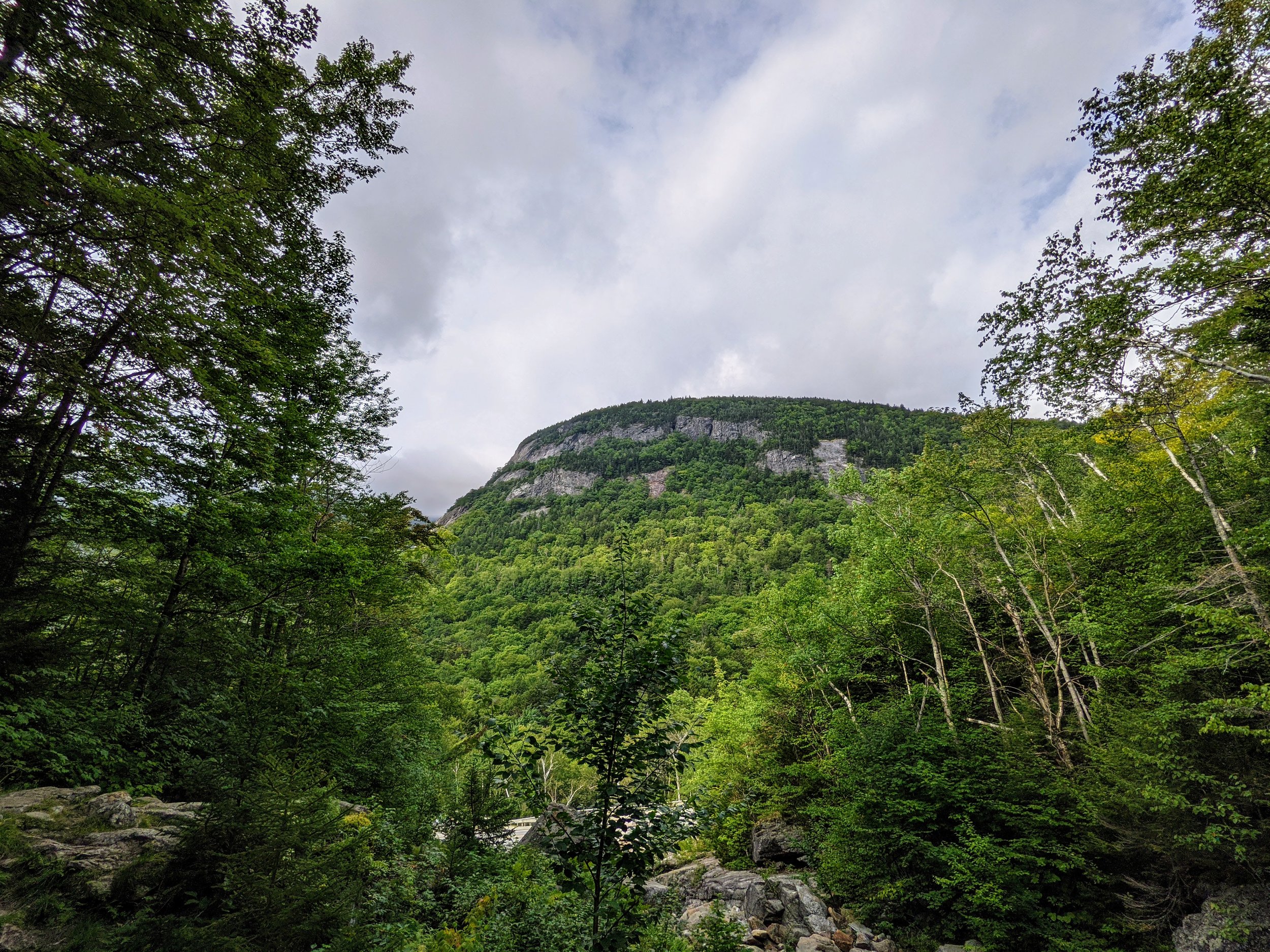
Looking Out to Mount Willard, Crawford Notch State Park